UK Weather: Met Office Christmas weather forecast for Glasgow - freezing rain, ice and snow alert

and live on Freeview channel 276
The Met Office has updated the Christmas weather forecast for Glasgow.
A weather warning, affecting areas slightly north and south of Glasgow, was issued by the Met Office on Wednesday.
Advertisement
Hide AdAdvertisement
Hide AdThe alert, while within virtual touching distance, does not apply to Glasgow but this could change.
The warning is for ice and is valid from 2.00pm on Wednesday and 4:00am on Thursday.
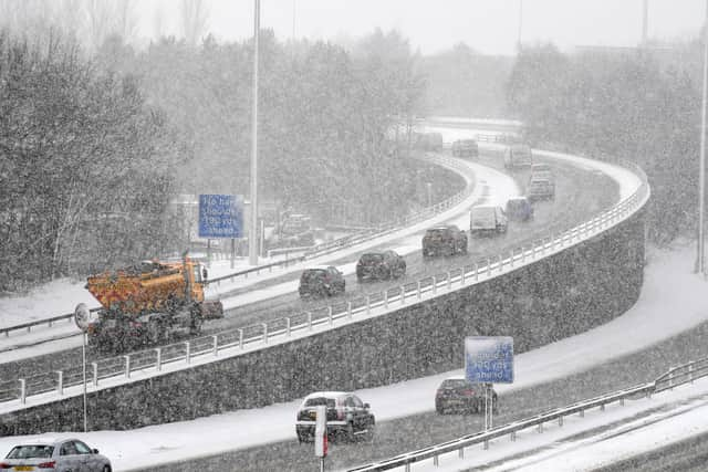

The weather alert applies to large parts of Scotland including these specific parts of Strathclyde: Argyll and Bute, East Ayrshire, North Lanarkshire and South Lanarkshire.
The same yellow status weather warning also applies to Central, Tayside and Fife, namely Angus, Perth and Kinross and Stirling.
Advertisement
Hide AdAdvertisement
Hide Ad“An area of rain will push northwards into Scotland on Wednesday afternoon and evening, before weakening overnight, falling into cold air and onto cold surfaces,” reads the warning on the Met Office website.
“This brings the possibility of a short spell of freezing rain across the Southern Uplands this afternoon, and then perhaps lasting a few hours across higher ground further north during the evening and overnight.
“This period of freezing rain may lead to icy stretches forming quite suddenly on some roads and pavements, as well as ice forming on outdoor structures and equipment.
“Although the possibility of freezing rain extends across the entire warning area, it is unlikely to affect all locations, surface temperatures nudging above zero in some other places.”
Advertisement
Hide AdAdvertisement
Hide AdThe Met Office added: “There is also the possibility of some snow falling at times, mainly over the Highlands, with accumulations of up to around 5 cm on the highest level roads, mainly above 400-500 metres elevation.”
Strathclyde weather forecast
December 22 to December 6, 2021
Today:
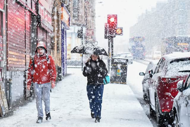
Some early morning brightness. However, cloud soon increases with rain and hill snow spreading north from around late morning, giving a risk of some icy surfaces. Some heavier outbreaks in the afternoon. Maximum temperature 7 °C.
Tonight:
Rain and hill snow. This will be persistent in the evening, but turning lighter with some drier spells developing overnight. Minimum temperature 1 °C.
Thursday:
Rain, light and patchy in the morning. Turning heavier and more persistent by the afternoon and continuing into the evening. Maximum temperature 10 °C.
Rain and high ground snow easing through Friday, dry but cold later. Mostly dry but cold and breezy Christmas and Boxing day.
Comment Guidelines
National World encourages reader discussion on our stories. User feedback, insights and back-and-forth exchanges add a rich layer of context to reporting. Please review our Community Guidelines before commenting.